Geographical Databases

Embrace the next generation of wireless network planning with CelPlanner Suite 14. This advanced solution seamlessly integrates innovation and reliability within a vendor-neutral ecosystem.
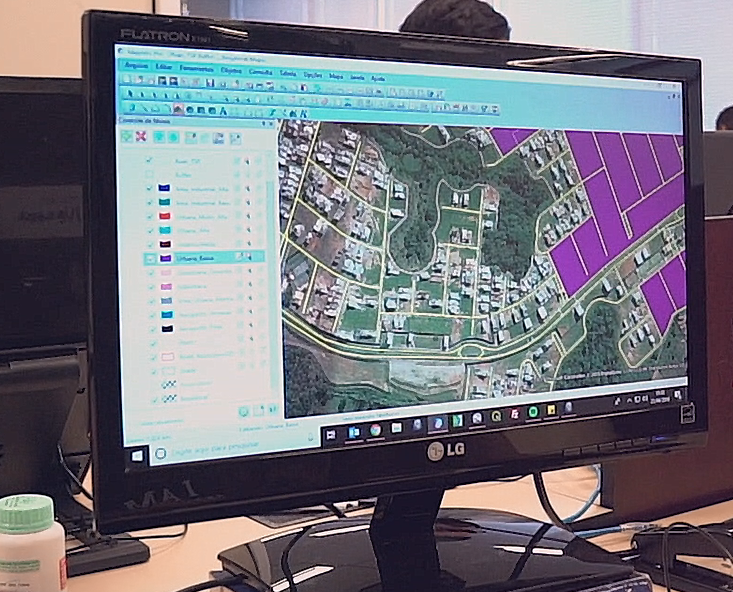
CelPlan offers the flexibility to provide geospatial data in formats compatible with our suite’s proprietary geo-platform or in any format specified by our clients. This adaptability ensures seamless integration with your existing workflows and systems.
Terrain Data
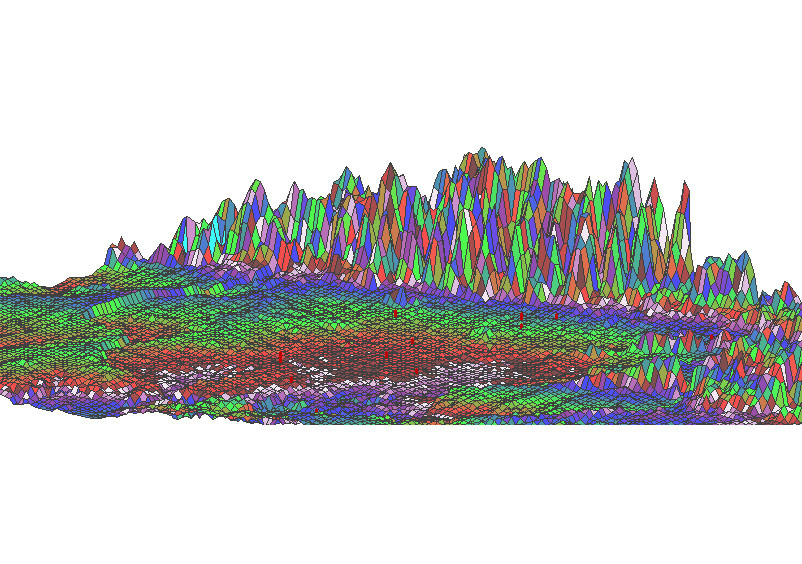
Digital Elevation Models (DEM) or Digital Terrain Models (DTM) can be provided with resolutions up to 1 meter. These high-precision terrain data are typically sourced from national geographic institutions, such as the United States Geological Survey (USGS) or Brazil’s IBGE/DSG.
When available, we acquire raster format databases and process them to meet specific format requirements. In cases where raster data is unavailable, we extract terrain information from the highest quality topographical charts accessible. Alternatively, we update data using advanced photogrammetry systems.
Our process involves digitizing contour lines and peak elevations from topographical charts. This digitized data then undergoes a linearization process using proprietary software. The software triangulates the data and interpolates points between the digitized contour lines, generating a continuous, high-resolution database. This level of detail is essential for accurate wireless system simulations.
This comprehensive approach ensures that we can provide the most precise and up-to-date terrain models, regardless of the source data’s original format or quality.


Clutter Data
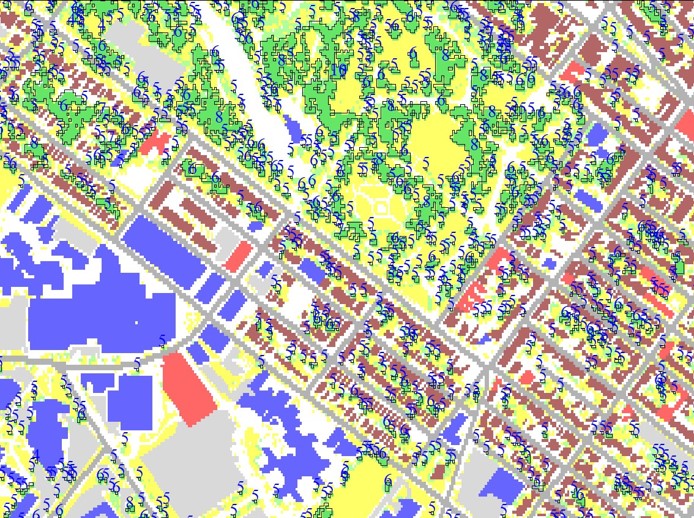
We provide specialized land cover and land use data tailored for telecommunications applications. This data encompasses a diverse range of classifications, including urban, suburban, dense urban, and various vegetation types (low, medium, and forest), among others. Our databases can offer resolutions as fine as 1 meter, ensuring highly detailed environmental modeling.
As contemporary wireless system designs increasingly utilize higher frequency bands, the demand for precise planning data has grown significantly. To meet this need, CelPlan offers Estimated Building Heights (EBH) databases. These advanced datasets are derived from ultra-high-resolution satellite imagery, providing detailed information on buildings and structures within the specified Area of Interest (AoI). Our EBH data offers vertical resolution accuracy of up to 5 meters, enabling three-dimensional modeling of the built environment.
This level of detail is crucial for accurate signal propagation modeling in complex urban environments, particularly for high-frequency systems where building geometry significantly impacts wave propagation. By incorporating such high-fidelity data, network planners can optimize coverage, capacity, and overall system performance with unprecedented accuracy.
The selection of appropriate input data is crucial for a good network design. CelPlan’s extensive experience and understanding of RF design requirements allow us to create GIS databases suitable for this type of application.
